TOTALITY
1m 50s
10-yr Aug 12
—
About
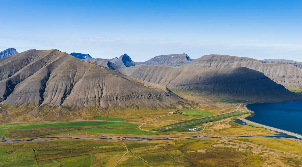
A 367 m mountain summit on the south shore of Dýrafjörður, directly above the fishing village of Þingeyri. The climb earns you the single best horizon on the entire site — over 22° of clearance to the west-southwest, with the open Atlantic visible past the fjord mouth and the next blocking terrain more than 8 km away across the water. A 60-minute hike, but the panorama is the whole point. Best suited to viewers who'd rather earn a clean horizon than compromise on a roadside spot.
Contact times · UTC
C1Partial begins16:43:31
C2Totality begins17:44:17
MAXMaximum17:45:12
C3Totality ends17:46:07
C4Partial ends18:42:29
Logistics
Trail2 km · 60 min
ParkingTrailhead parking at the south-east edge of Þingeyri village, off the upper village road. Small gravel area, free. Þingeyri itself has a grocery and petrol; use them before starting the climb.
ServicesNone nearby
SignalNo signal
Terrain2 km of trail switching back across rocky slopes from the village (117 m) to the broad summit plateau (367 m). 60 minutes up for a normally-fit walker, less coming down. No shelter at the summit — hiking boots, windproof shell, layers, and water are essentials. The summit plateau is broad and flat enough for several tripods spread out without crowding.
AccessModerate hike